After my last post about Leradale/Liradale and its’ various archaeological features, I have been told a bit more by Archaelogy Shetland (thank you!)
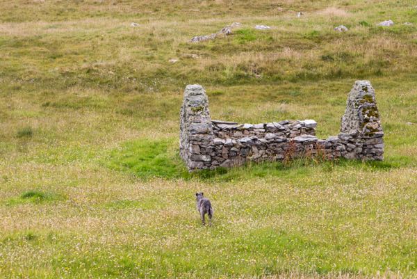
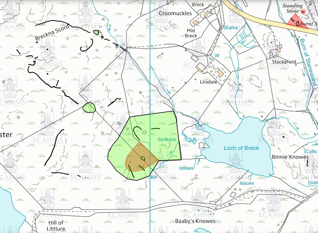
Ok, so going WNW towards (the green circle at 21:30) first….
We walked up the hill (this is boundary that dog legs through the croft where the burn meets the fence).
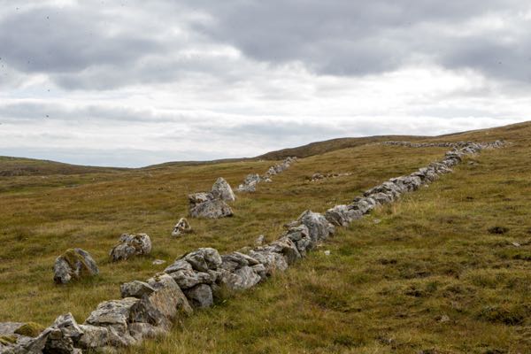
(from another angle)

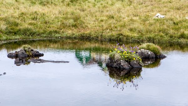
Below the fence boundary, there was this little tumpty (unmarked but perhaps of note).
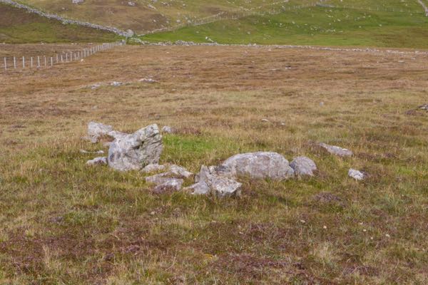
This is the little green circle at the top of the fences (direct west).
On Pastmap.org.uk it is described as
Historic Environment Record
Breckna Scord
Site Type: FIELD SYSTEM, ENCLOSURE
Council: Shetland Amenity Trust
HER ID 8325

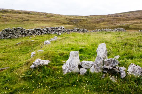
An oval shaped feature with a distinct “front door” with attached little stone place

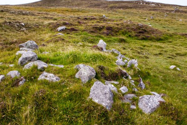
(for scale reference)
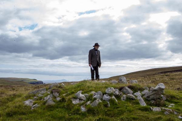
Then below is the wiggly line on the map.

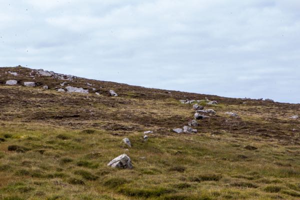
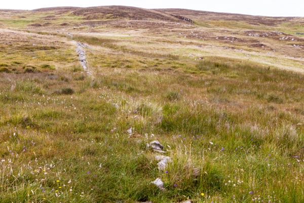
There was, we felt, evidence of terraces (which are very hard to photograph but if you were there, you could see them!)
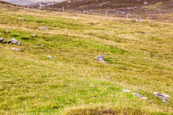
Nex, the big green bit – the shaded large odd shape
This is the hook line, which is more like a complete stone circle.
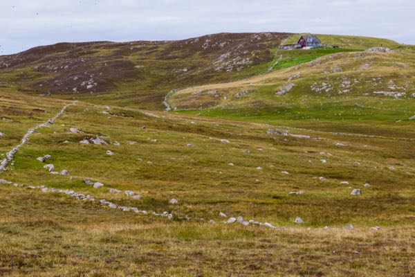
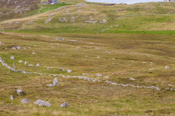
And another interesting feature that is unmarked on the map.
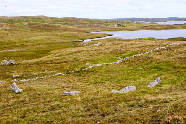
This is the wiggly line below the hook shaped line

The tiny green circle is another possibly dwelling site.
Historic Environment Record
Lock of Breck
Site Type: SETTLEMENT, OVAL HOUSE
Council: Shetland Amenity Trust
HER ID 3610
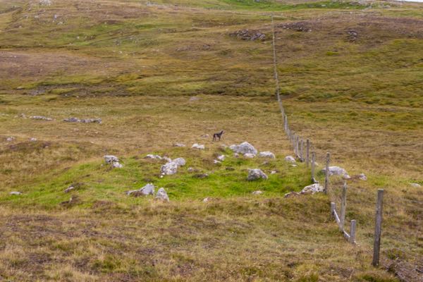
And the two parallel stone walls above on the next door’s land.
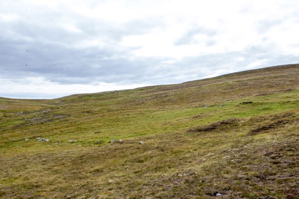
Obviously, we ignored the new builds!
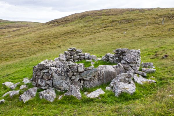
So, there you are. We found we have an official listing.
We are an Historial Monument!
I had no idea. Absolutely none. We are of national importance!
http://portal.historicenvironment.scot/designation/SM6158
“Type: Prehistoric domestic and defensive: field or field system; hall; settlement (if not assigned to any more specific type)
Location
- Local Authority: Shetland Islands
- Parish: Walls And Sandness
National Grid Reference
- NGR: HU 20965 48385
- Coordinates: 420965, 1148385
Description
The monument comprises the remains of a prehistoric settlement of at least one house together with the remains of contemporary fields.
The settlement is located on a NE-facing slope overlooking Loch of Breck. A single oval house has been revealed by peat-cutting. It measures some 6m by 4.5m internally, with walls up to 2m thick. The entrance has been from the SE, where a curving wall foundation suggests a porch or windbreak. Within the house, alcoves can be traced in the inner face of the wall on the NE side. To the N and NW of the house small squarish terraces probably represent contemporary fields, and there are a number of small cairns, perhaps of field cleared stones, in the area.
The area to be scheduled is irregular on plan, bounded on the NE by a modern fence, which is itself excluded. It measures a maximum of 95m NE-SW by 90m, to include the house, fields and cairns and an area around them in which traces of activities associated with their construction and use may survive, as marked in red on the accompanying map.
Statement of National Importance
The monument is of national importance as a small prehistoric farming settlement which has the potential, through excavation and analysis, to provide important information about prehistoric domestic architecture and subsistence economy.”
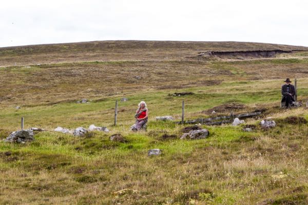
My friends, who take a huge interest in this sort of thing, think it is might be a Neolithic settlement. We sat on our stones and tried to imagine how these folk lived and who they were.
i tried hard not to think about life with woolly mammoths!
Liradale needs to be excavated and I want to find out more. Anyone interested?

Wow, that is so very cool! So often I feel I’m The First to see something or go somewhere, and I am reminded that many many humans went there before me. It’s great that you got so much information about the ruins on your land.
This might be a good one for the television series, Time Team! Very exciting.
If only Time Team still existed.!
This is fascinating! And as a historic site, I’m assuming it will be well protected! I look forward to hearing more about the findings. And NEOLITHIC?! That does set the imagination going, doesn’t it?
I think congratulations is in order… 🙂
Most intriguing….Would love to know even more if you invite an archaeological team in to dig someday.
Anyone is welcome to start a dig if they are interested. I will keep you updated.
I have just seen this now, its great when you can find out more about a site. I’m glad you found the information helpful. Part of the site is so important it is protected by law as a Scheduled Ancient Monument which means that you need permission from Historic Environment Scotland to disturb the site and do any intrusive archaeological work such as excavation, geophysical survey, or metal detecting. It might be worth getting in touch with them for more information about the protection.
It is a really interesting site so I hope more work can be done in future. What a great thing to have on your land!
No one is interested in it. I would not go digging. The site would not be disturbed. Anything organised would go through official channels.
Of course, it was more for your own interest and it is nice to know that the site is that important. I have surveyed the site using aerial photographs are part of my research and I would love to come and have a look on the ground!